| States/Counties | Hydrology |
 |  |
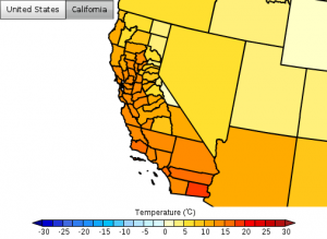
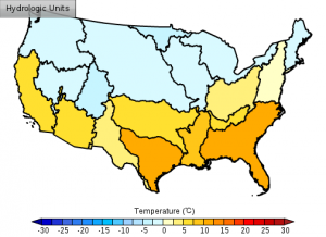
The Regional Climate Change Viewer (RCCV) allows a user to visualize model output from the Dynamical Downscaling project as averages of model grid cell values over bounding polygons that we have selected. Currently, we provide averages over telescoping political outlines (states and counties) and hydrologic units (HUC2, HUC4, HUC8). The RCCV can be used to investigate a subset of the more than 60 variables available in the data sets including air temperature, precipitation, soil moisture, snow water equivalent (SWE), growing degree days and evapotranspiration. Detailed information and instructions for viewing and manipulating the data are found in the RCCV Tutorial. A detailed description of additional model evaluation and sample time series of daily data can be found here.
